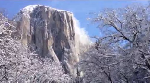
If you’re heading up to the park this weekend bring a warm jacket and your snow tires. There’s a good chance Yosemite Valley will be white by Monday.
NWS: A second cold front is expected to move southward across the Central California interior overnight accompanied by showers over the mountains and a slight chance of showers in much of the San Joaquin Valley. Wet weather is likely in the wake of this second cold front Friday with the possibility of wintry travel over the higher elevations. Snow levels will lower to 2500 feet in the Sierra Foothills and 3500 feet in the Kern County mountains by late friday. A light dusting of snow is possible over the grapevine by early friday evening with local snow accumulations of an inch or two over the higher foothills. Snow accumulations of 4 to 6 inches are likely in the higher elevations of the Sierra by friday night…especially north of Kings Canyon National Park. Expect wind gusts up to 45 mph through and just below the Kern County
mountain passes Friday.There is a slight chance of thunderstorms Friday afternoon in the cold unstable airmass…mainly over Merced County.
Temperatures Friday will be no warmer than the 40s in the Sierra Nevada Foothills…and no warmer than the 50s in the San Joaquin Valley where skies remain overcast. A dry and unseasonably cold airmass will move into the Central California interior this weekend. There is a chance of frost in the coldest locations of the San Joaquin Valley early Sunday morning and Monday morning with below freezing temperatures in the Kern County desert.